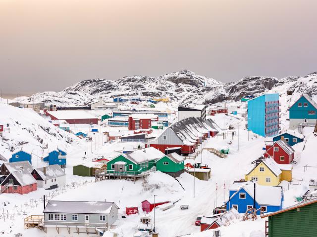
A free mapping tool to support interdisciplinary Greenland-focused research, teaching, decision making, and collaboration.
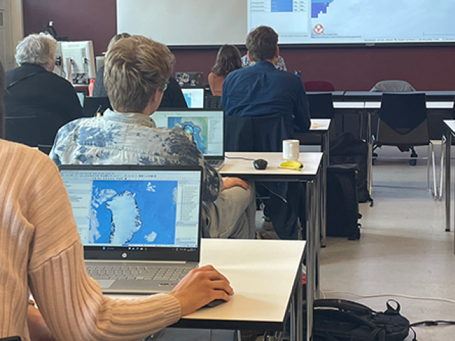
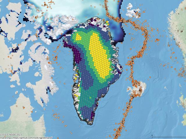
Combines key datasets into a unified, all-in-one GIS analysis and visualization environment for offline and online use.
Greenlandic / Kalaallisut Nunap assinganik sananermi sakkussaq akeqanngitsoq Kalaallit Nunaanni assigiinngitsutigut ilisimatusarnermik, atuartitsinermi, aalajangiisarnermi suleqatigiinnermilu aallaaveqartoq.
Datat assigiinngiiaartut katersorlugit ataatsimoortilerlugit, GIS-imut misissuinermi takussutissiinermilu avatangiiseq nittartakkakkut attaveqanngikkaluarluniluunniit atorneqarsinnaasoq.
Danish / Dansk Et gratis kortlægningsværktøj der underbygger tværfaglig grønlandsfokuseret forskning, undervisning, beslutningstagning og samarbejde.
Kombinerer centrale datasæt i et samlet, integreret GIS-analyse- og visualiseringsmiljø til brug offline og online.