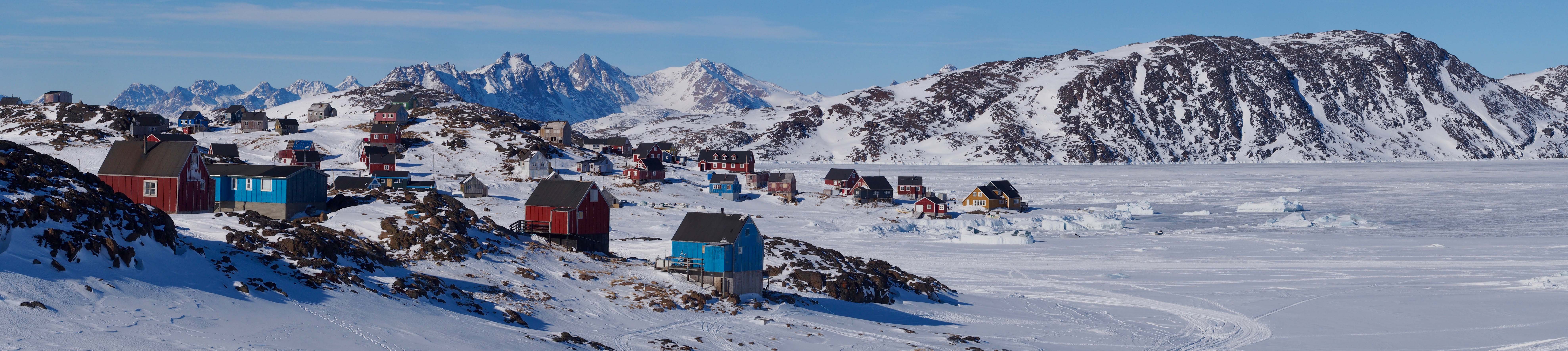
A Free GIS Package for Greenland
A free mapping tool to support interdisciplinary Greenland-focused research, teaching, decision making, and collaboration.
Combines key datasets into a unified, all-in-one GIS analysis and visualization environment for offline and online use.
An international Editorial Board and Project Collaborators connects the QGreenland Team to data and user communities.